
Memphis Brownfield Coalition
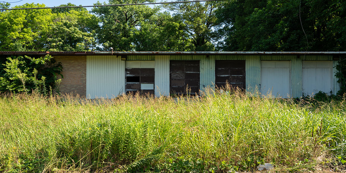
In 2023, the CRA received $1,000,000 from the Environmental Protection Agency (EPA) to complete assessments and remediation plans for selected sites in four target areas in Memphis’s urban core.
A brownfield is defined by the EPA as “A property, the expansion, redevelopment, or reuse of which may be complicated by the presence or potential presence of a hazardous substance, pollutant, or contaminant.” The Memphis Brownfield Coalition was formed to address the need for assessing and remediating potentially contaminated vacant or underutilized properties.
 StoryMap
The Brownfield StoryMap is an interactive webpage highlighting assessed sites and profiles of the communities served by the CRA’s EPA Brownfield Coalition Assessment grant.

Brownfield Data Viewer
The Brownfield Data Viewer is a tool to explore brownfield data compiled by the CRA. This interactive map highlights potential brownfields, assessed sites, and Superfund sites.

Environmental Assessments
The CRA has funded several environmental assessments across Memphis. Explore the testing sites and download the reports.
Brownfield Inventory Spreadsheet (06.16.26)

Brownfield Grant Documents
Soulsville: Movement in Memphis (January 2026)
Community Involvement Plan (November 2025)
Quality Assurance Project Plan (January 2025)
EPA Approved Workplan (June 2023)

Coalition Membership Groups
A group of stakeholders from across the City of Memphis and Shelby County that convenes quarterly to discuss the progress of grant activities and potential brownfield redevelopment. The council consists of representatives from quasi-governmental agencies, city/county/state departments, neighborhood associations, private developers, technical assistance providers, and community focused non-profits.
Agencies and Organizations Represented
- Binghampton Development Corporation (BDC)
- City of Memphis Engineering
- City of Memphis Public Works
- Community LIFT
- Community Redevelopment Agency (CRA)
- Economic Development & Growth Engine (EDGE)
- City of Memphis Housing and Community Development (HCD)
- Greater Memphis Chamber / Memphis Moves
- Klondike Smokey City Community Development Corporation (KSCCDC)
- Local Initiatives Support Corporation (LISC)
- Memphis & Shelby County Department of Planning and Development (DPD)
- New Jersey Institute of Technology (NJIT)
- Shelby County Land Bank
- Soulsville Foundation
- The Works Inc.
- TN Department of Environment & Conservation (TDEC)
A voting body made up of grantees and appointed stakeholders from the target areas of Uptown, Klondike-Smokey City, Binghampton, and Soulsville. Meetings are held monthly and members prioritize sites for assessment based on criteria such as development potential and community impact.
Members Include
- Binghampton Development Corporation (BDC)
- Chamber of Commerce
- Community Liaisons (4 residents representing target areas)
- Community Redevelopment Agency (CRA)
- Economic Development & Growth Engine (EDGE)
- Klondike Smokey City Community Development Corporation
- Mid-South Development District
- Shelby County Landbank
- Soulsville Foundation
- The Works Inc.
Archived Grant Activity Documents
- Awarded Application
- Grant Management Services RFP (Responses)
- Environmental Consulting Services (RFPQ) / Questions & Responses
- GIS Services RFP / Questions & Responses
- Powerpoint Presentation RFPQ Informational Meeting November 28, 2023